GUIDE NO. 04 – DATA ACTIVATION SERIES

This is a practical introduction to activating value from key datasets and features in your digital twin.
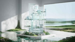
Reality Capture as visual intelligence for your digital twin
Reality capture refers to the use of 3D laser scans and 360-degree panoramic photos to create accurate, real-world representations of industrial environments.
In Aize, this spatially aligned data enriches your digital twin, giving users a ground-level understanding of asset conditions, layout, and geometry. These real-world visuals support remote inspections, validation of models, and collaboration between stakeholders.

Why Reality Capture Matters
Effective use of reality capture in Aize provides:
- Up-to-date context: See the asset as it is today, not just as it was designed.
- Remote validation: Compare models against real site conditions with visual overlays.
- Operational efficiency: Minimise site visits by enabling digital walkdowns.
- Collaboration: Align teams across engineering, construction, and operations with shared visual ground.
Efficient interaction with Reality Capture
To maximise the value of reality capture in Aize, users need to easily access, explore, and act on the visual data, without leaving the digital twin environment. Aize supports a range of industry-standard formats and intuitive interaction tools that make it easy to contextualise physical conditions.
What’s supported
Aize supports industry-standard formats for both point clouds and panoramic photos, fully aligned with your asset’s spatial coordinates.
- 360° Photos: Spherical and cubemap formats streamed directly from capture systems like Cintoo and Ayelix
- Point Clouds: PTX, PTS, E57, LAS, LAZ, ZIP — spatially aligned with the asset’s coordinate system.
These datasets are visualised within Aize’s 3D environment, enabling real-world insight where it’s most impactful.
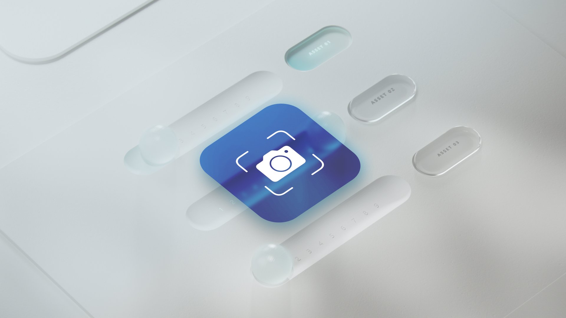
How Users interact
Navigate and compare reality data directly in the 3D environment to validate, inspect, or plan.
- Clickable scan points: Open panoramic photos directly in the 3D canvas.
- Opacity control: Adjust transparency to compare captured images with CAD models.
- Overlay point clouds: Toggle dense 3D scans on and off alongside design data.
- Scene builder: Combine scans and 3D objects to simulate or communicate upcoming work.
- Source system link-out: Jump to the original photo or scan for deeper review.
Where You’ll find it in Aize
Reality capture is fully integrated into the Aize workspace, layered with other key model data.
- 3D Canvas: Primary view for exploring capture data.
- Models Panel: Manage visibility of point clouds in parallel with CAD.
- Media Info Panel: See metadata for each image (e.g., capture date, file name, system).
- Scene Builder: Place 3D elements in the context of real-world visuals for work pack preparation.
Best practice recommendations
Effective use of reality capture in Aize depends on well-prepared, well-structured datasets. Clean inputs ensure smooth visualisation, accurate spatial alignment, and seamless interaction within the 3D environment.
Preparing Your Model
-
Group logically: Organise scans and photos by area (e.g., deck, module) to simplify navigation.
- Stay within system limits: Aize supports up to 20 billion points per point cloud model—compress or segment large datasets if needed.
- Use LAZ format: Preferred for its smaller file size and efficient rendering.
- Align spatially: All files must follow the asset’s coordinate system to appear in the correct location.
- Update regularly: Refresh your datasets to reflect current site conditions and maintain digital twin accuracy.
Scene Building Tips
- Combine layers: Use 360° photo backgrounds with 3D objects to visualise upcoming work.
- Simulate changes: Build scenes to show temporary installations, new equipment, or access routes.
- Communicate clearly: Scenes can be used to support work packs, reviews, and stakeholder discussions.
Common Pitfalls to Avoid
- Uploading oversized or uncompressed scans that exceed system performance limits.
- Misaligned data due to missing or incorrect coordinate system settings.
- Outdated visuals that no longer reflect actual conditions, reducing trust in the digital twin.
- Disorganised file structures, which make it hard to filter or identify relevant areas in the model.

Further reading
This is just a brief introduction as part of our data activation series. You’ll find more information about how you can unlock the power of your data on our Data Activation homepage.